Researcher /
data scientist /
visual maker

Felix Liu in graduation attire

Seeing society
through data.

I study society, cities, and risk through data. Trained in actuarial science and computational social science, I build statistical models, maps, and interactive tools, and publish the results as papers, visualizations, and short films.

Open to data science, actuarial & risk analytics roles.

What I work with.

Five things I do repeatedly, the methods behind each, and the projects on this page that show them.

  1. Statistical modelling

    GLMs · extreme value theory (GEV, POT–GPD) · Bayesian MCMC · Double LASSO · regression discontinuity · R, Python

  2. Spatial analysis

    POI & hexagonal grids · OpenStreetMap routing · geocoding & historical gazetteers · dialect-distance clustering

  3. Networks & historical data

    CBDB · Ming Qing Women’s Writings · record linkage · network construction and centrality · descriptive statistics across dynasties

  4. Visualization & motion

    Canvas / D3 interactives · scroll-driven maps · Blender shaded relief · FFmpeg render pipelines · Skyfield ephemerides

  5. AI-assisted practice

    Coding agents from prototype to release · data preparation and validation scripts · AI-drafted composition, hand-finished cartography

Highlight projects.

Six projects across papers, maps, urban data, and motion. Everything else is in the archive below.

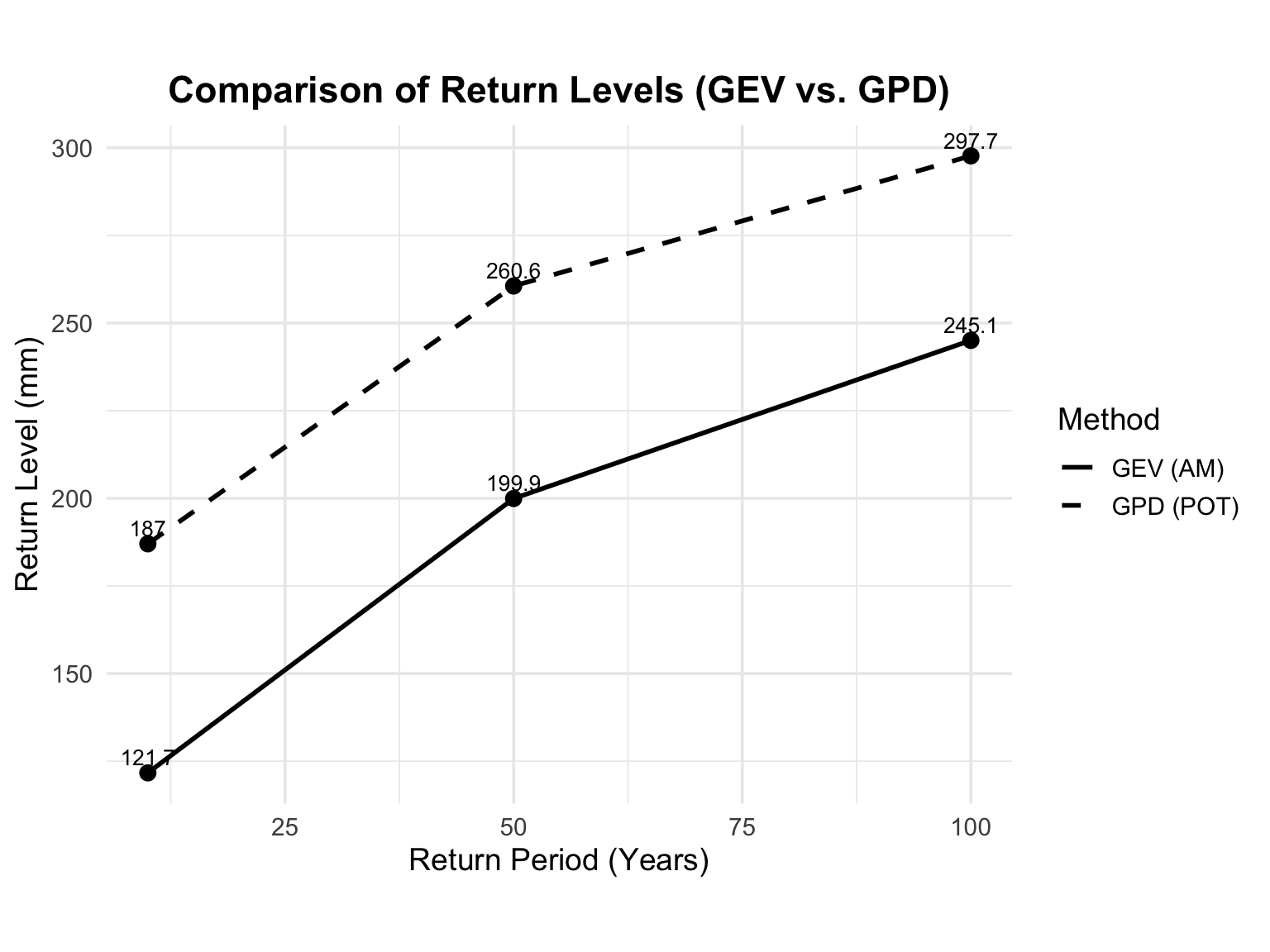
Comparison of GEV and GPD return-level estimates for Beijing precipitation

Climate risk · paper, ASRM 595

Extreme precipitation risk in Beijing, 1960–2024

Both tails are heavy (ξ > 0). The 100-year daily rainfall lands between 245 mm (GEV) and 298 mm (POT–GPD); the threshold model is the more conservative guide for flood planning.
  • GEV
  • POT–GPD
  • 99% VaR / ES
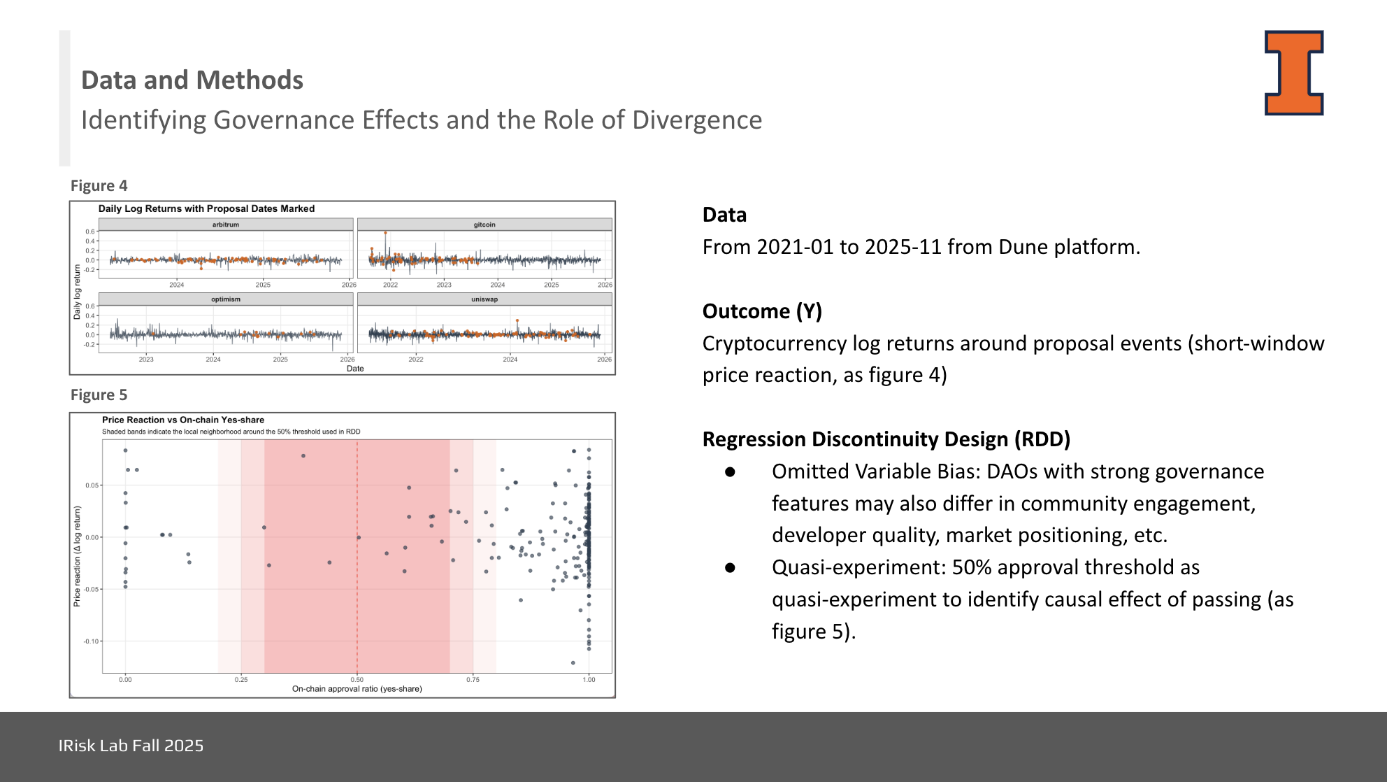
Research slide showing a regression discontinuity design for DAO governance

Governance · paper, iRisk Lab 2025

On-chain and off-chain vote divergence in DAOs

229 proposals across Uniswap, Arbitrum, Gitcoin, and Optimism. Governance effects persist, but divergence between the two votes weakens the value governance creates.
  • Regression discontinuity
  • Dune
  • Event returns
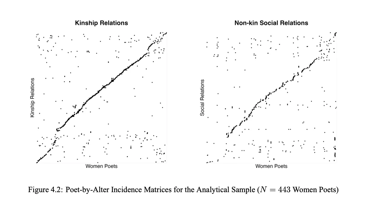
Poet-by-alter incidence matrices for kinship and non-kin social relations, 443 women poets

Computational history · paper, SSRN

Women poets and literary recognition in imperial China

443 poets, CBDB × MQWW. Non-kin social ties, not kinship, predicted publishing an individual collection: one s.d. more social degree roughly doubled the odds (OR ≈ 2.06), while the kinship effect was not distinguishable from zero.
  • Double LASSO
  • Bayesian MCMC
  • Network analysis
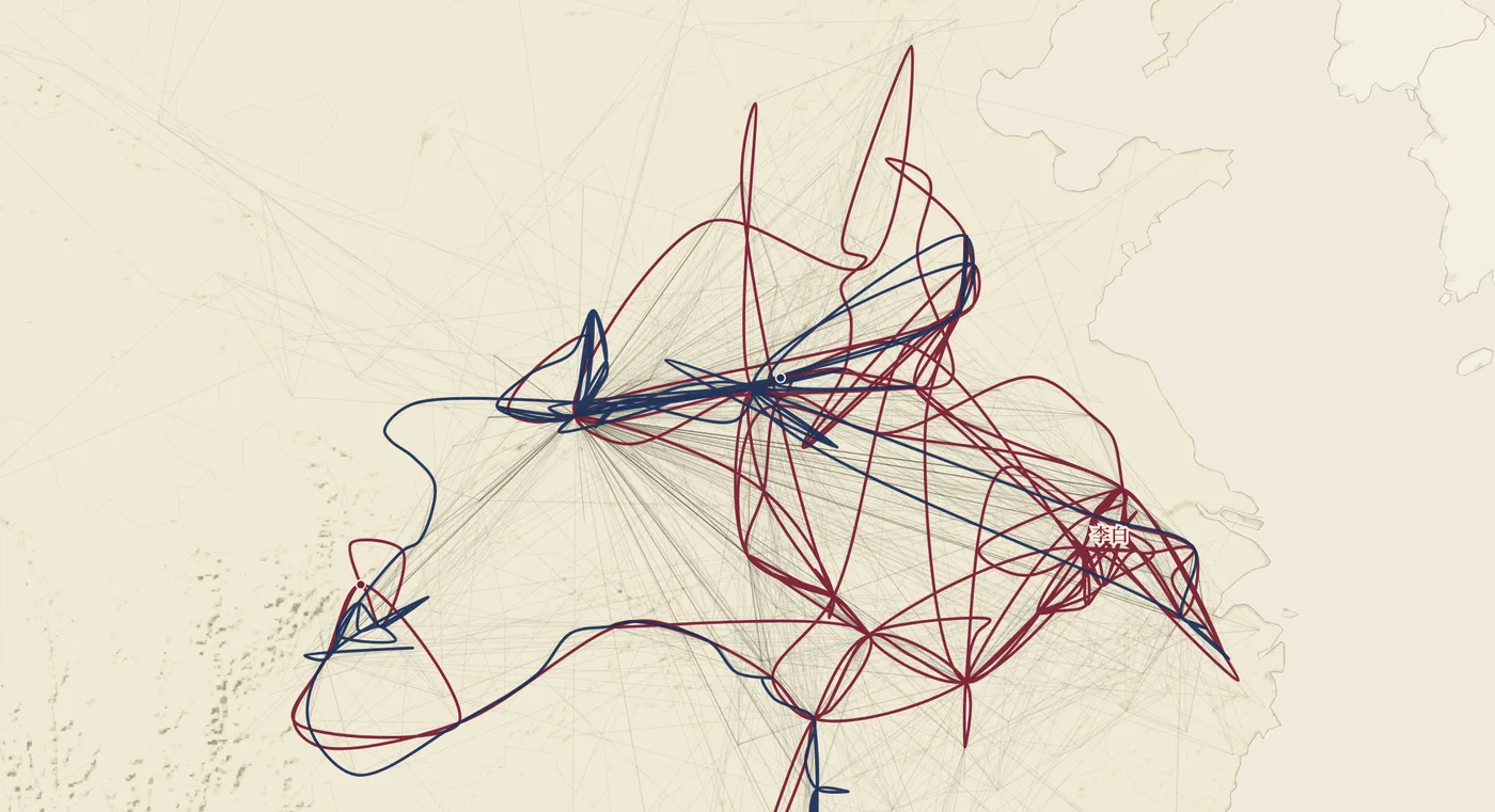
Scroll-driven map tracing Tang and Song poets' travel routes across ChinaInteractive ↗

Historical geography · interactive map

Journeys of Tang & Song poets

Where 360 poets actually went: some 14,000 recorded stops traced on a paper-textured map, scroll by scroll.

  • Scroll-driven map
  • Canvas
  • Bilingual

Astronomy & tides · motion, 2026

Moon calendar 2026

Summer solstice to the Mid-Autumn full moon: the moon’s phase over Hong Kong, the solar terms, and a rolling 24-hour tide at Quarry Bay.

  • Skyfield
  • HKO tides
  • FFmpeg pipeline

Urban data · article, 2022 data

Why does everywhere feel far away in Beijing?

Beijing inside the Fifth Ring vs. Shanghai inside the Outer Ring: services are more dispersed, population and commerce less aligned, and 10,000 sampled routes detour further.

  • Gaode POI
  • 400 m hex grids
  • OSM routing

Everything else.

All research, writing, visual work, and tools, in compact form. Chinese articles open with an English preview.
Research & writing 8

  1. Paper
    On-chain and off-chain vote divergence in DAOsRegression discontinuity · 229 proposals · four DAOs
  2. Paper
    Extreme precipitation risk in Beijing, 1960–2024GEV vs. POT–GPD · 99% VaR / ES · 100-year return level 245–298 mm
  3. Paper
    Women poets and literary recognition in imperial ChinaCBDB × MQWW · Double LASSO · Bayesian MCMC — non-kin social ties, not kinship, predicted recognition
  4. Article
    Gaode POI · 400 m hex grids · OSM routing · detour index — Beijing’s services are more dispersed and detours longer than Shanghai’s
  5. Article
    Score-frequency tables · Beta fitting · 985 opportunity ratio — high-pressure provinces split into narrow- and wide-access structures
  6. Article
    CBDB · name-presence rate · character frequency — named women are a small share of the women recorded at all
  7. Article
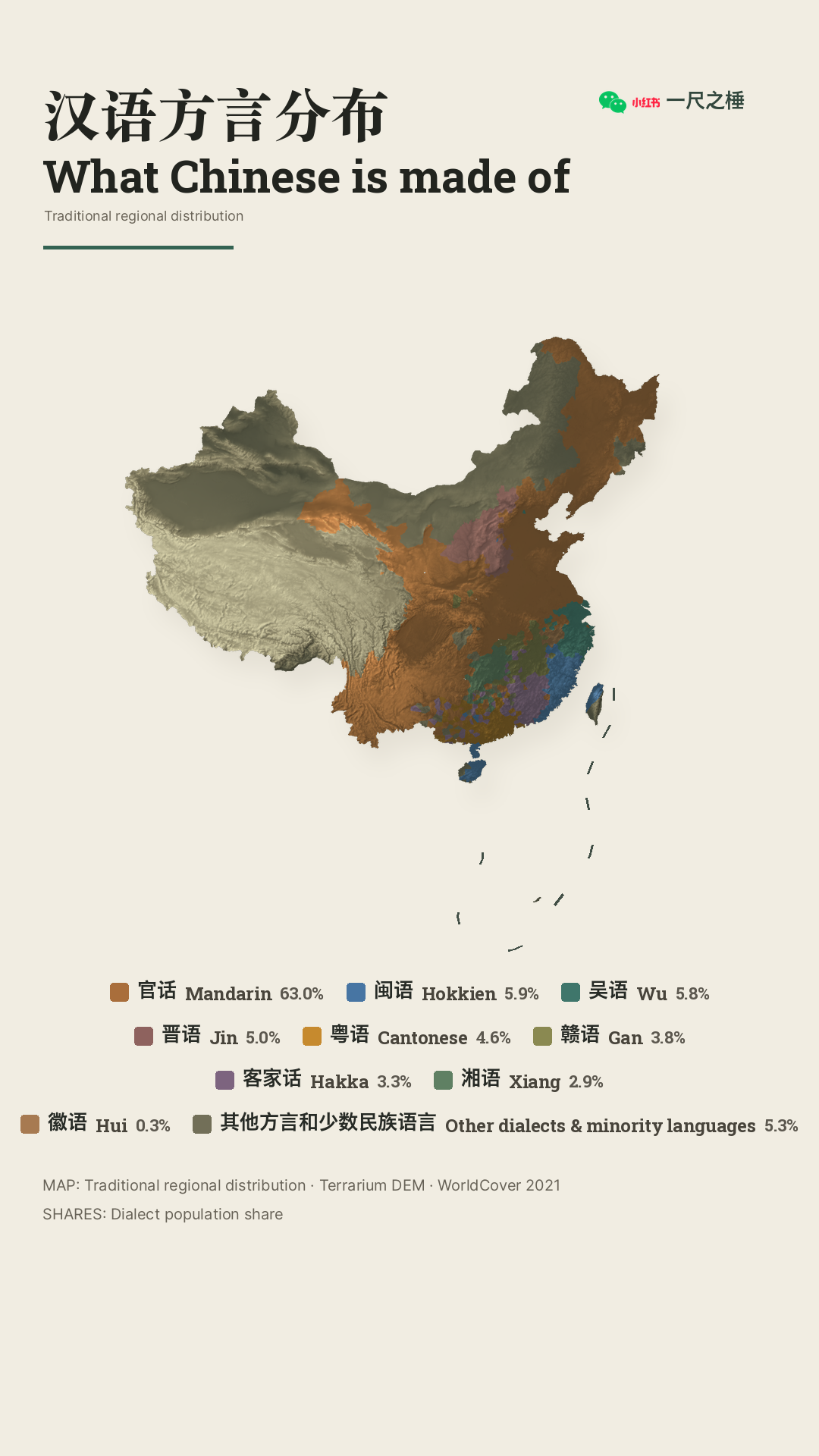
    Dialect distance · road distance · clustering — one province often holds several cultural regions
  8. Article
    CBDB · geocoding · latitude distribution · TGI — the recorded center shifts from the north in Sui–Tang to the lower Yangtze by the Song

Visual & motion 9

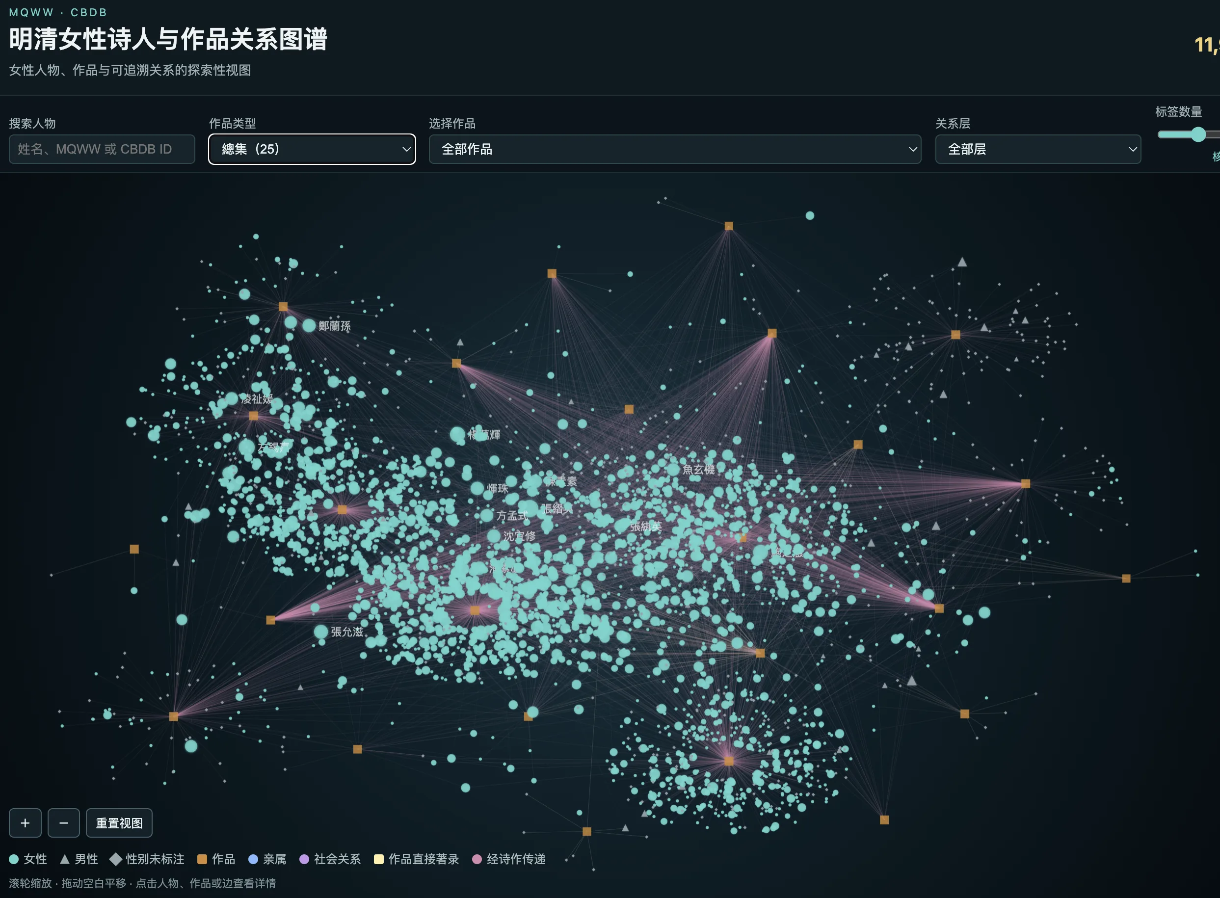
  1. Women poets networkInteractive · CBDB × MQWW · kinship, social ties, collections
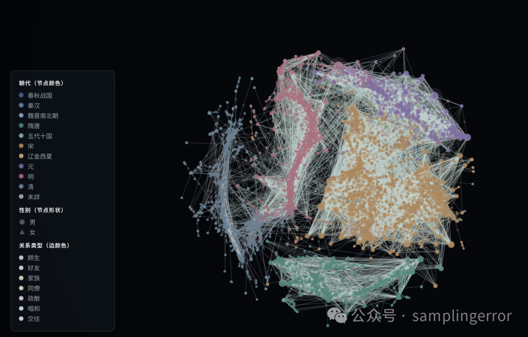
  2. Historical figures networkInteractive · searchable relationships across CBDB records
  3. Journeys of Tang & Song poetsInteractive · scroll-driven bilingual map · 360 poets, ~14,000 stops
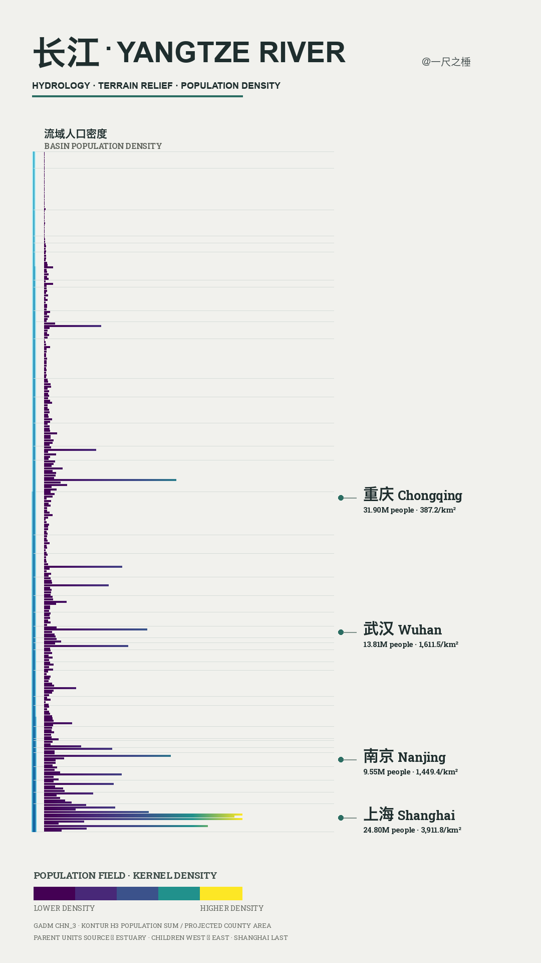
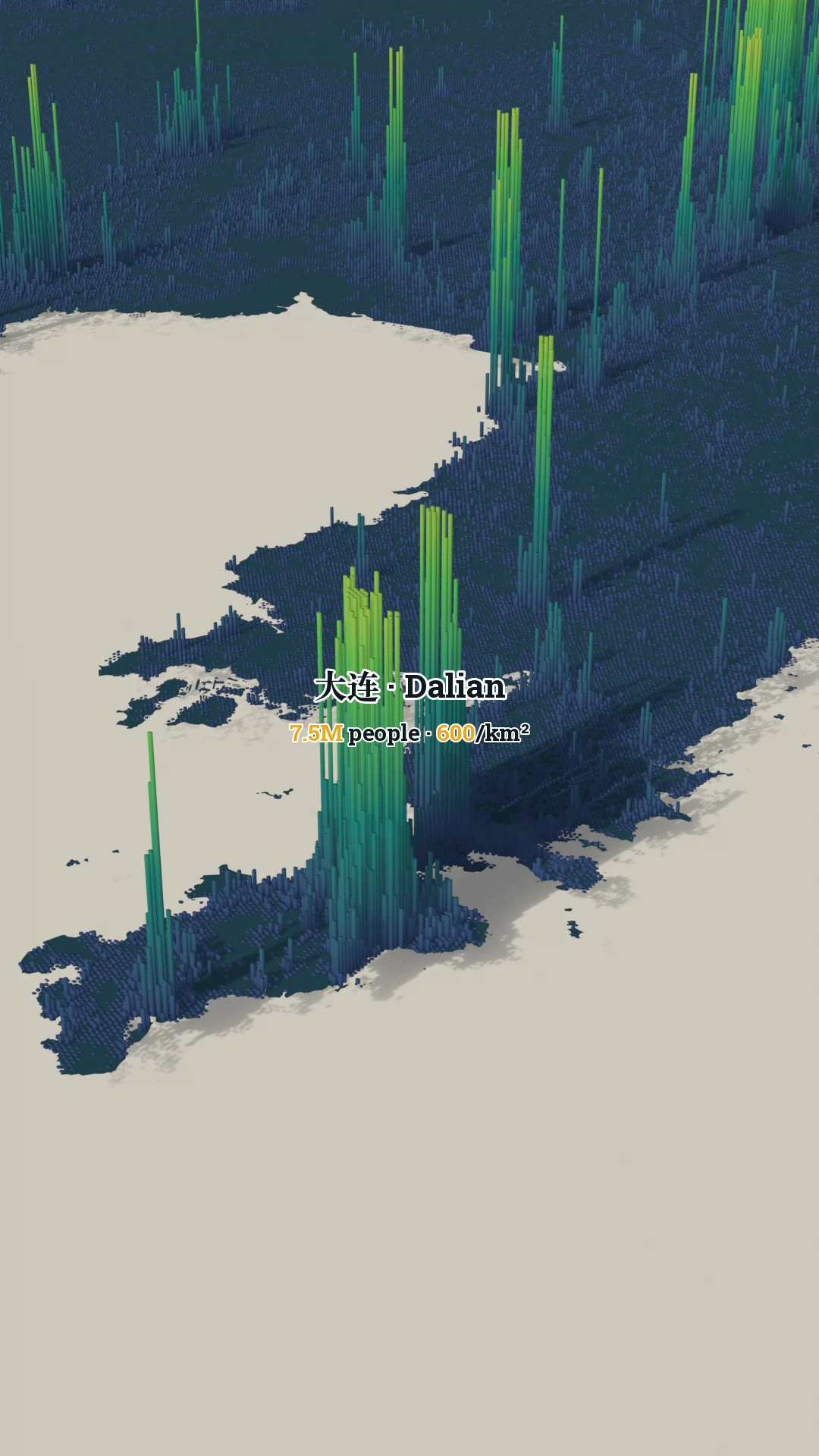
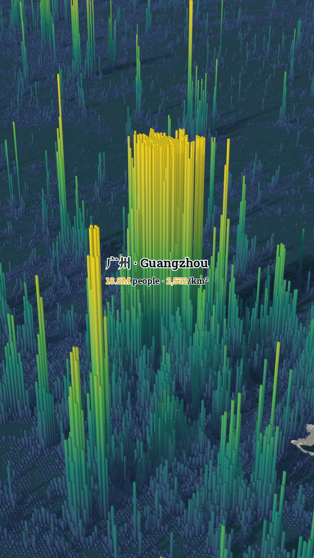
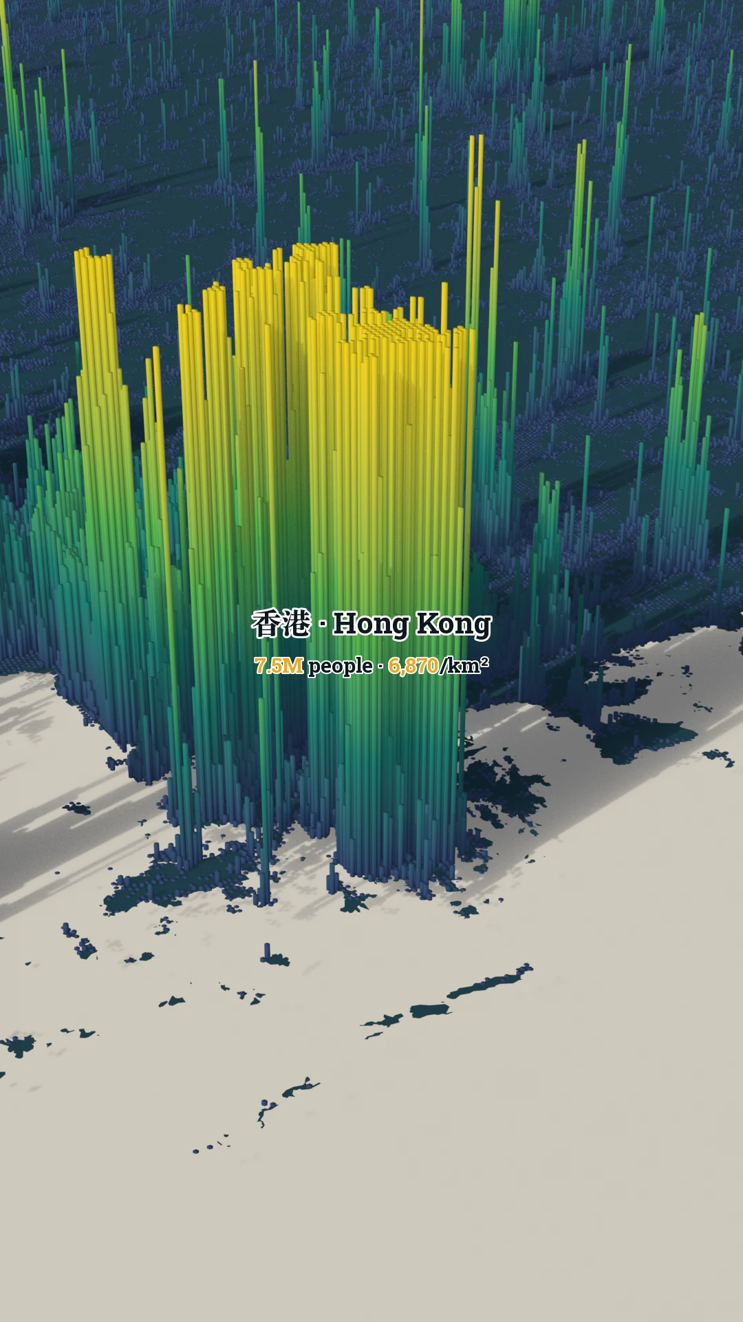
  4. City data visualArchive · built space, population fields, terrain, hydrology · 29 studies on this page
  5. Film · 82 Tang poets’ recorded journeys, 617–907, on 3D terrain · 4:00
  6. Film · 280 poets from the Five Dynasties to the fall of the Song, 907–1279 · 5:34
  7. Motion · lighthouses and navigation lights, published light cycles · 0:30
  8. Motion · FY-4A LMI optical lightning events, June–August 2023 · 0:20
  9. Motion · moon phase, solar terms, Quarry Bay tide · 2:41

Tools 2

  1. Extension
    Caption HarborLocal-first YouTube learning extension: bilingual captions, transcription, contextual AI explanations, vocabulary and notes · beta, built with AI from prototype to release
  2. Open source
    codegFrontend contributor to a multi-agent coding workbench (React / TypeScript): inline rendering of HTML visualizations from any coding agent, and sidebar filtering · merged and shipped in v0.32.3, built with coding agents from spec to review
Ways of looking.29 visual studies +
View the complete archive ↗

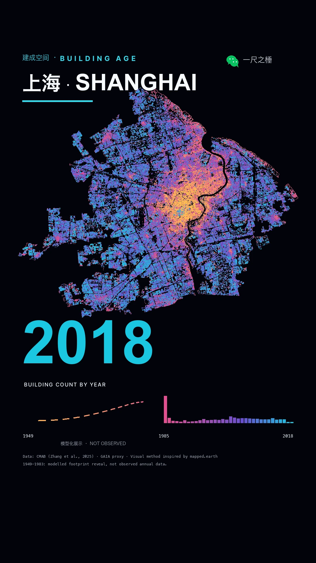
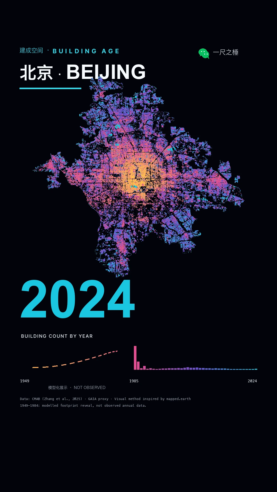
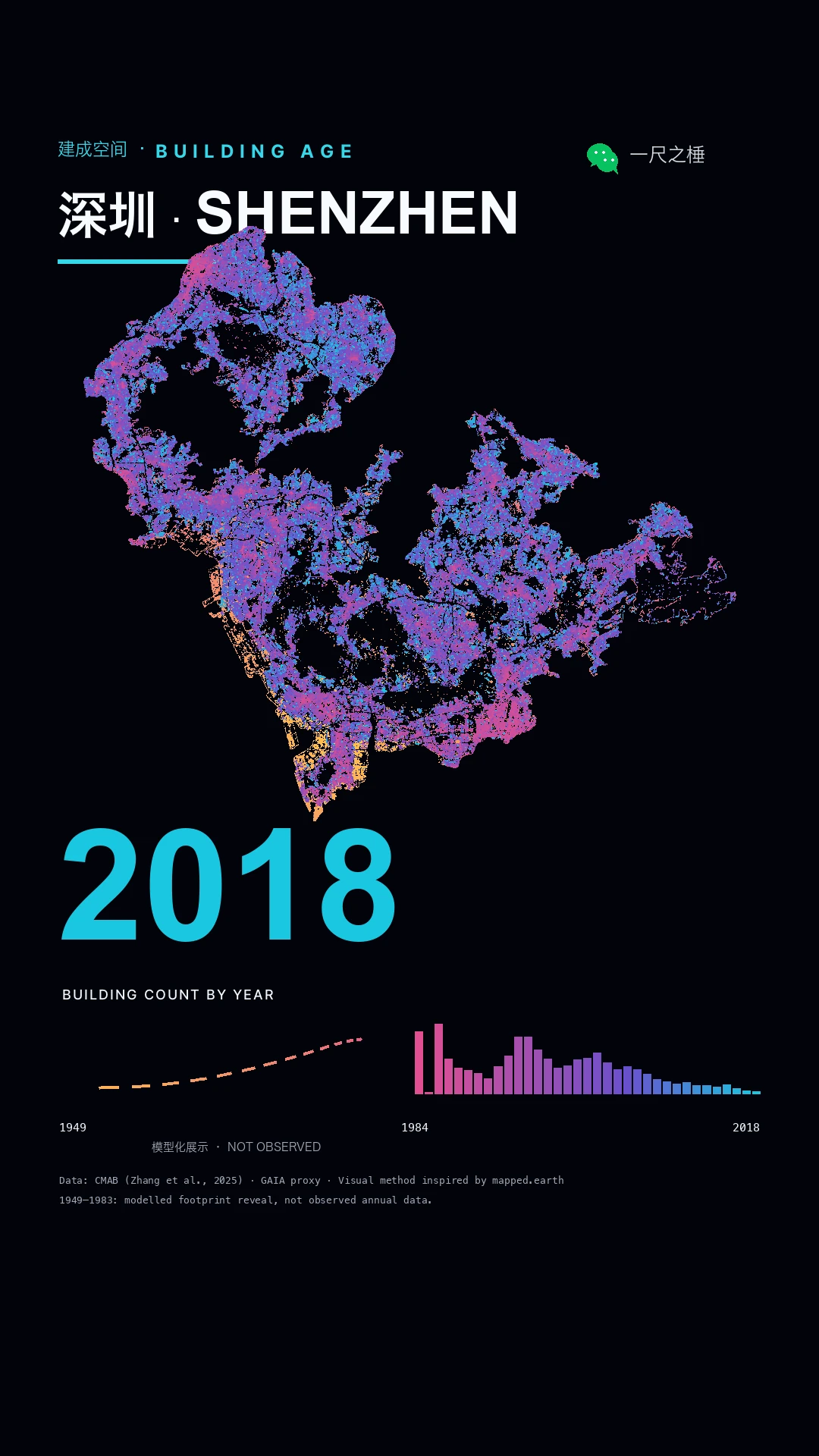
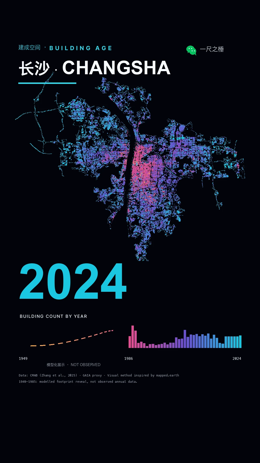
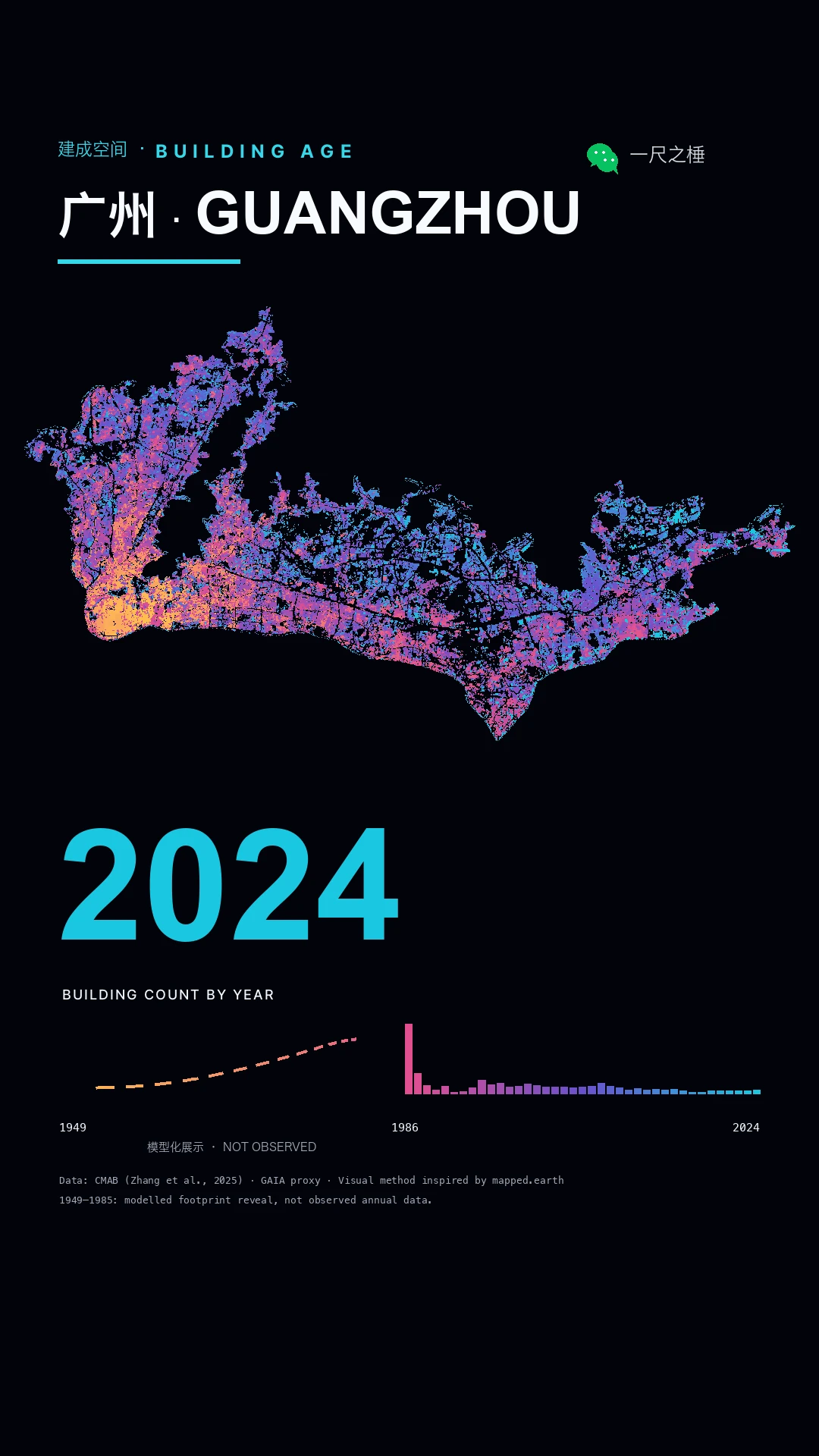
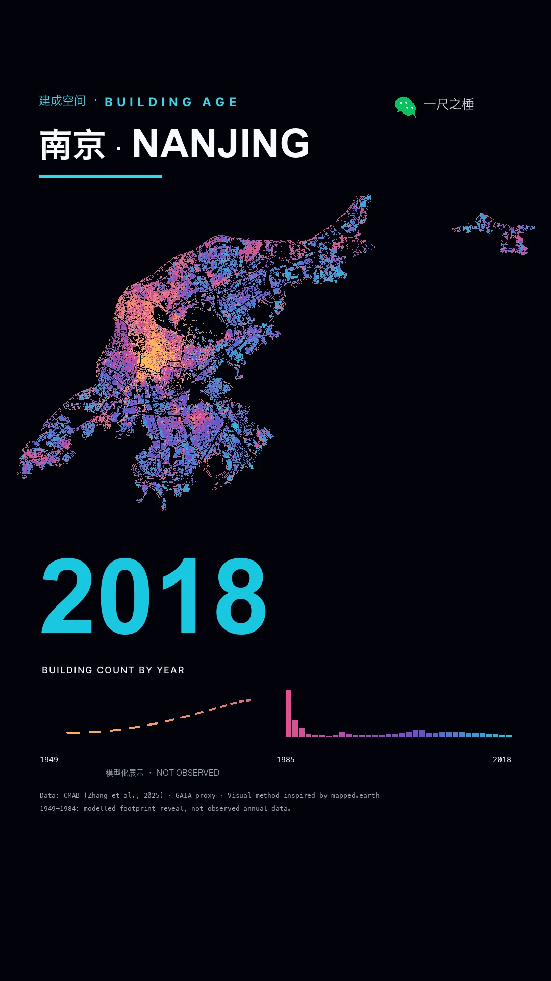
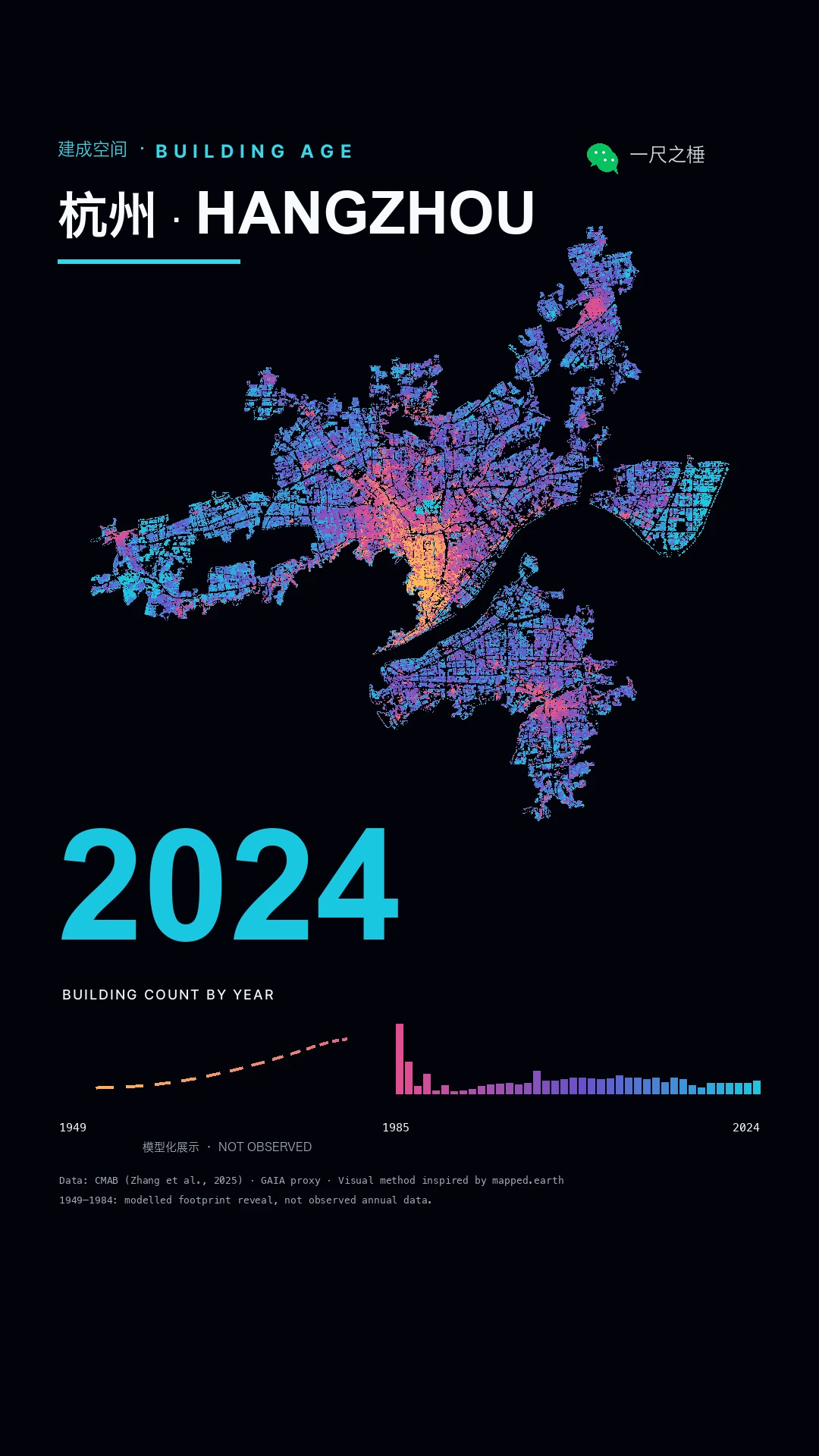
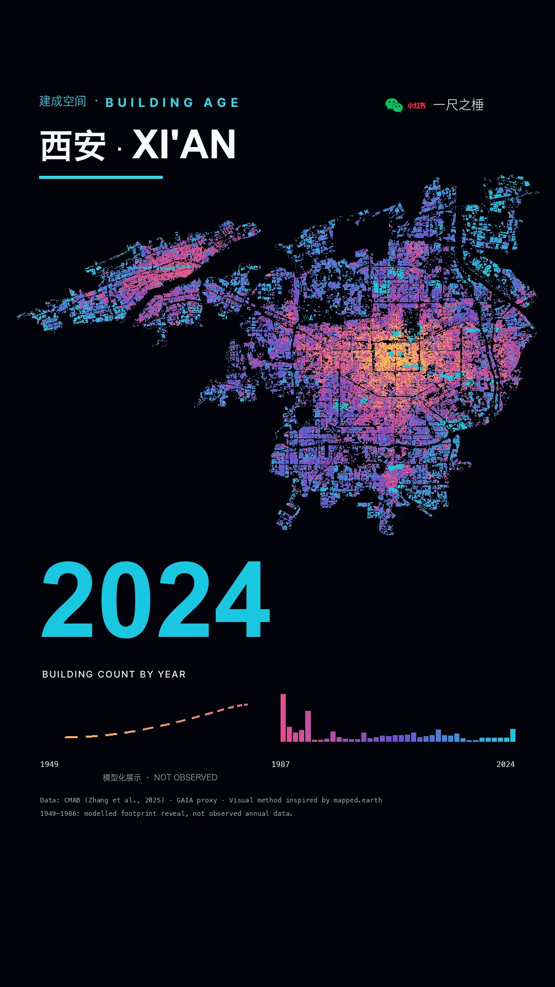
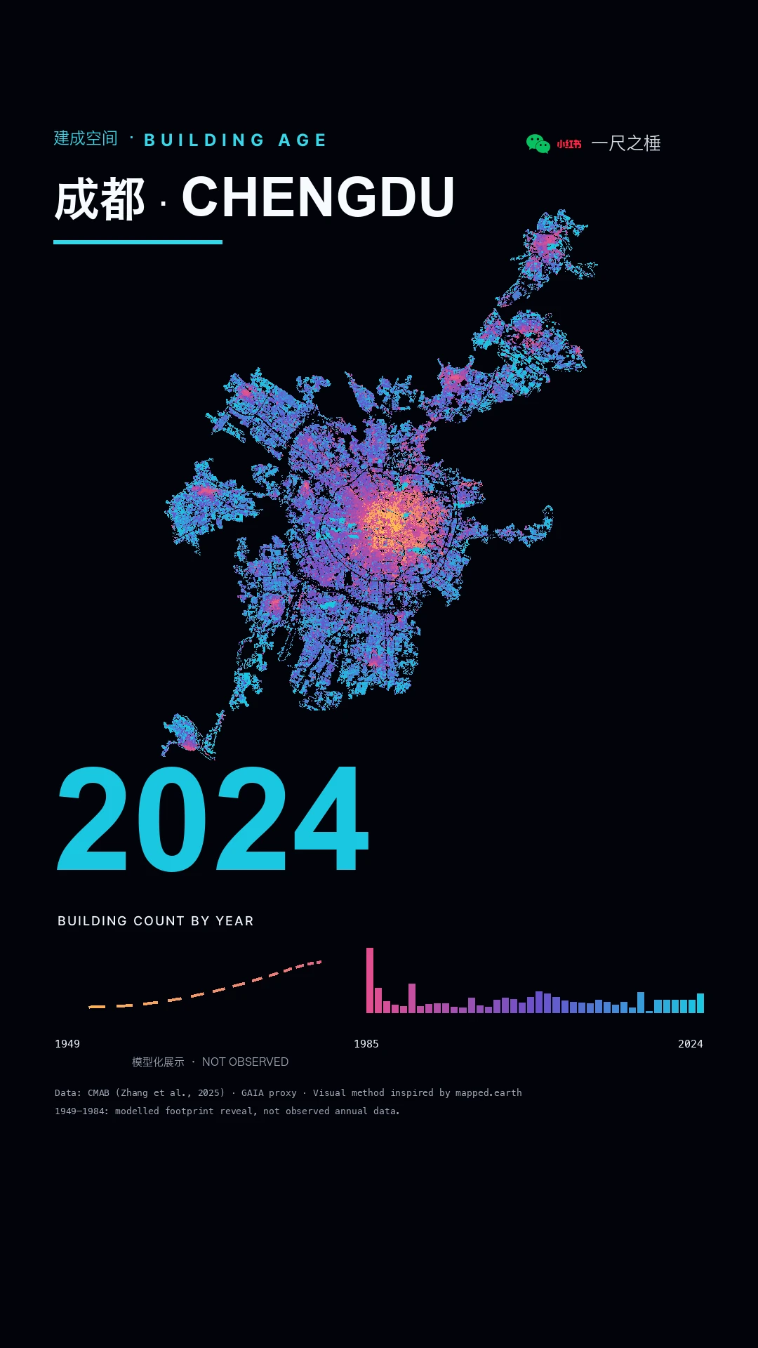
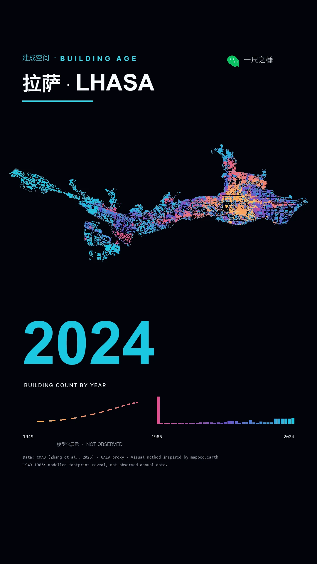
01 / Built-space timelines

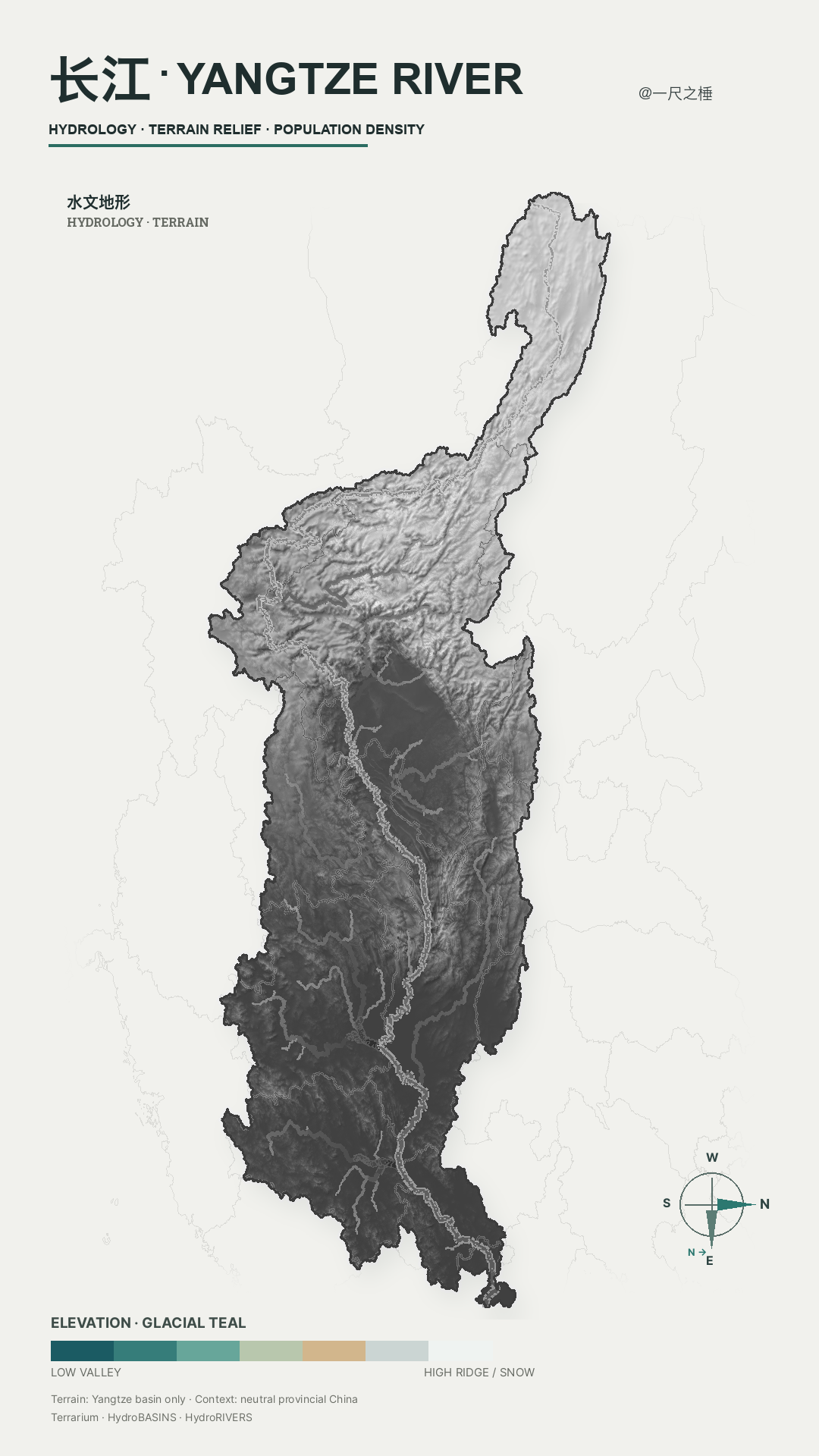
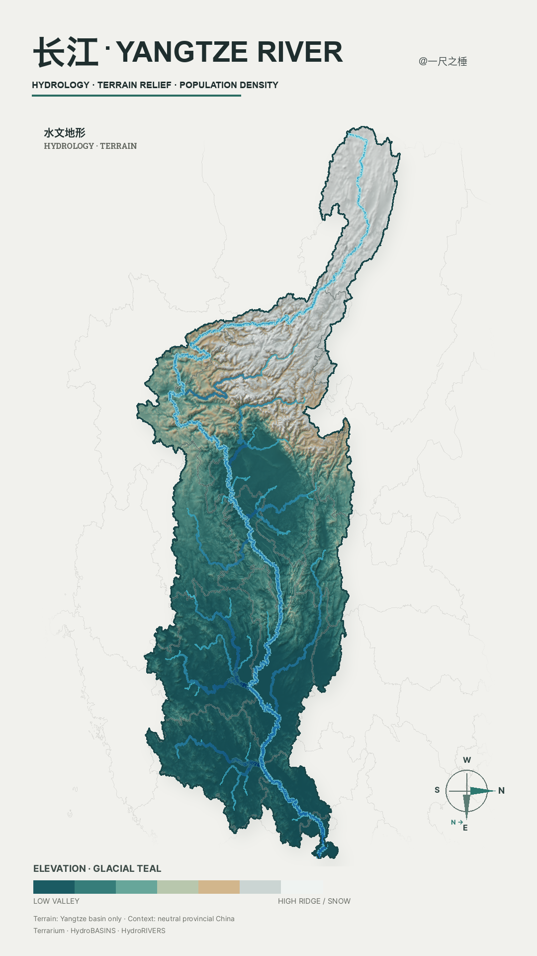
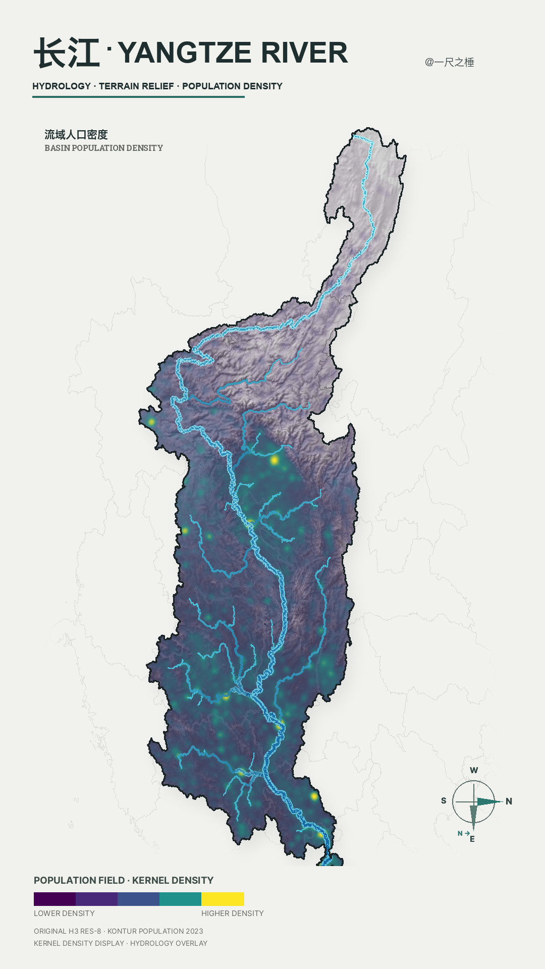
02 / Dialects & watersheds

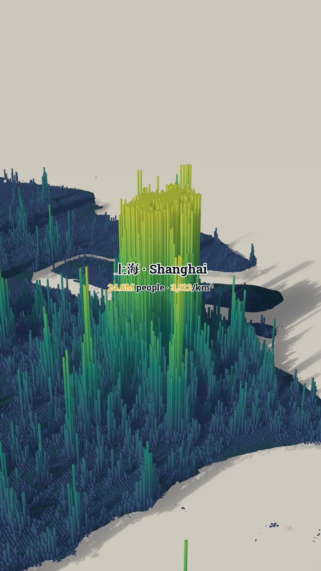
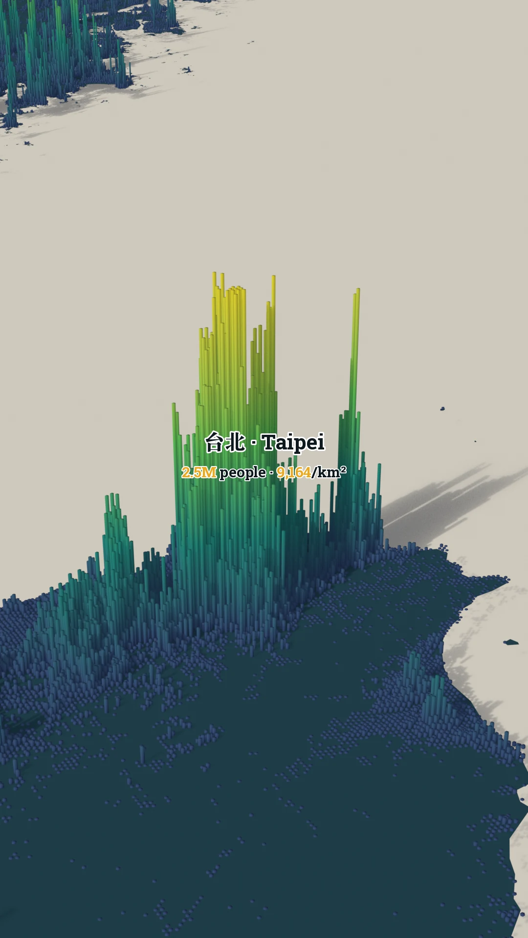
03 / Urban population fields

04 / Life expectancy

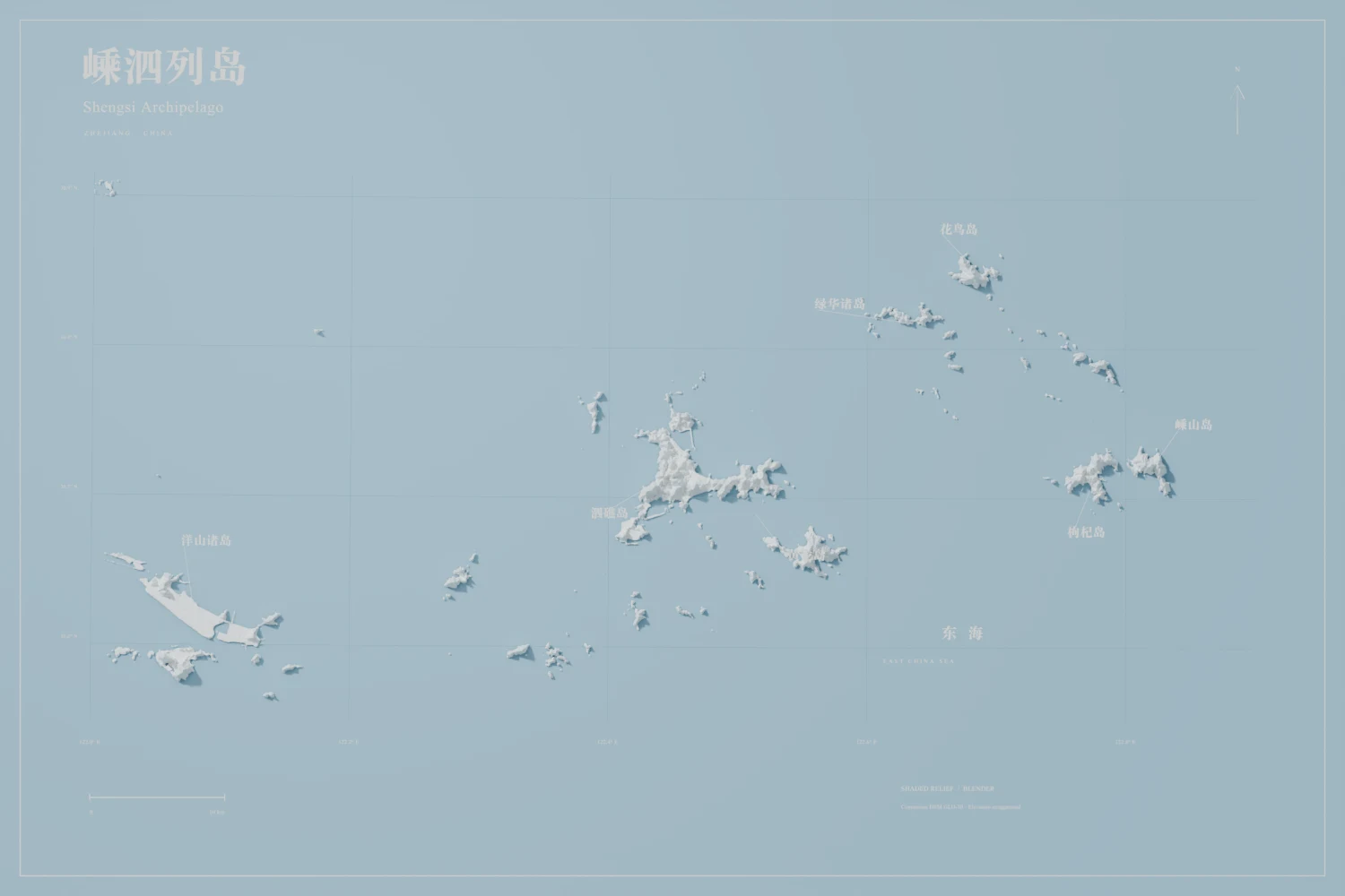
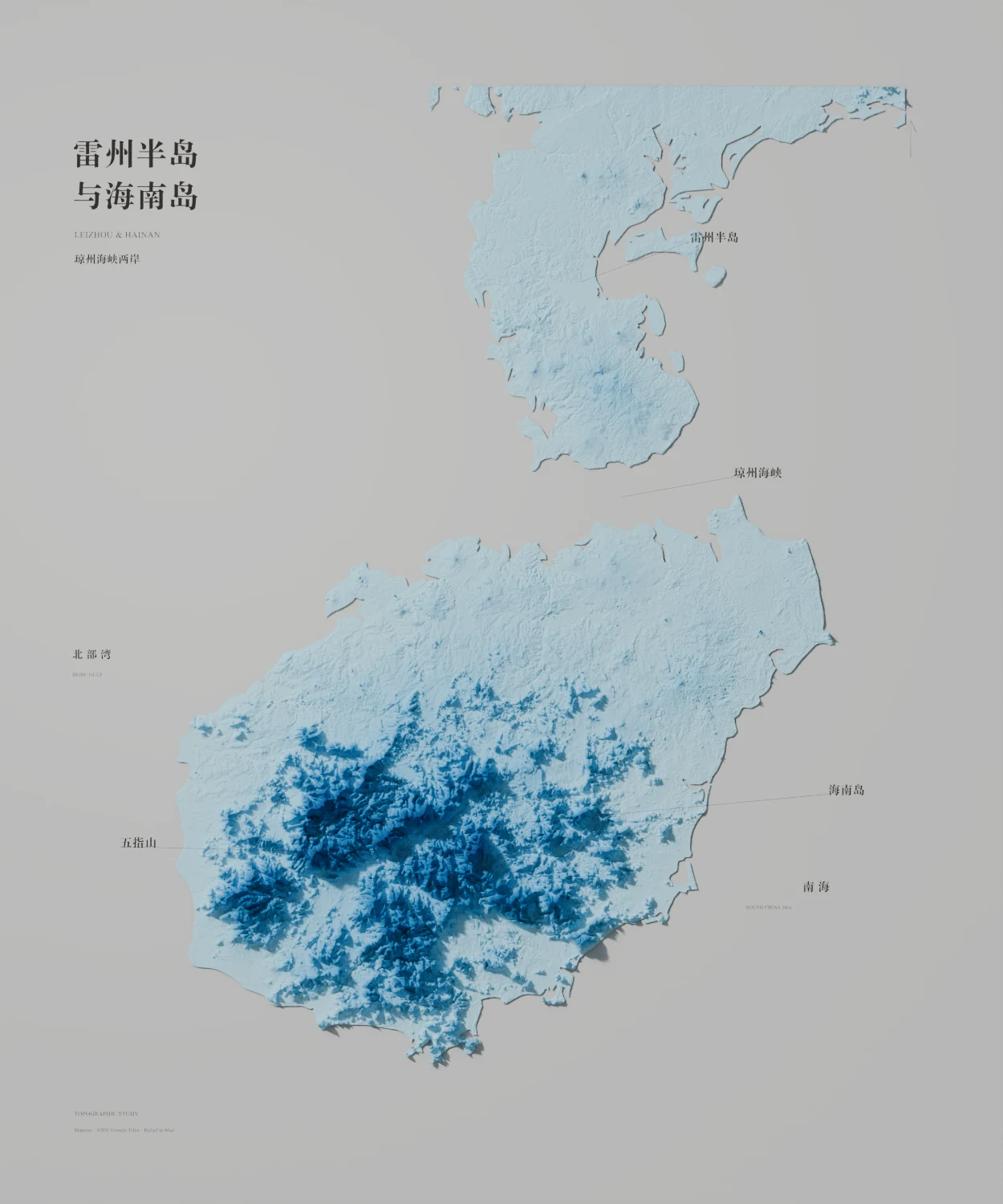
05 / AI + Blender relief atlas

Four terrain studies built through an AI-assisted workflow, from geospatial preparation and composition to Blender shading and final cartographic refinement.
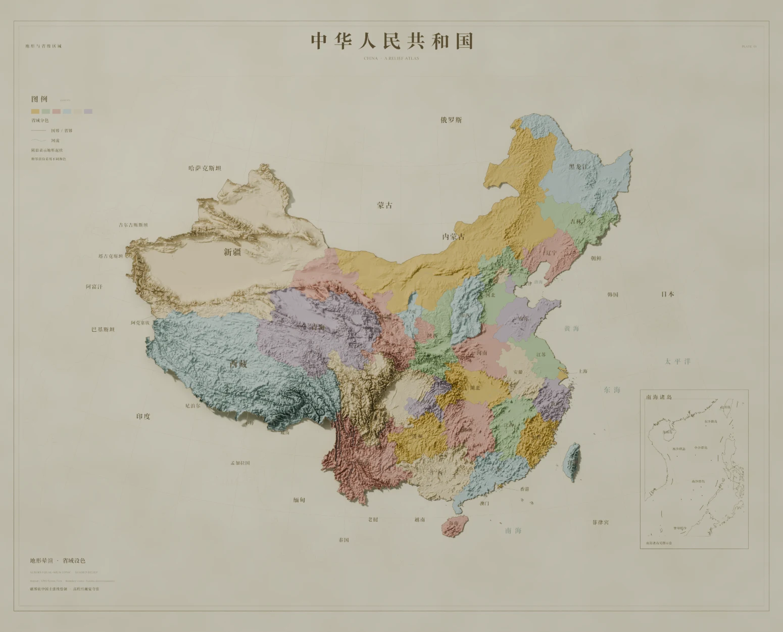
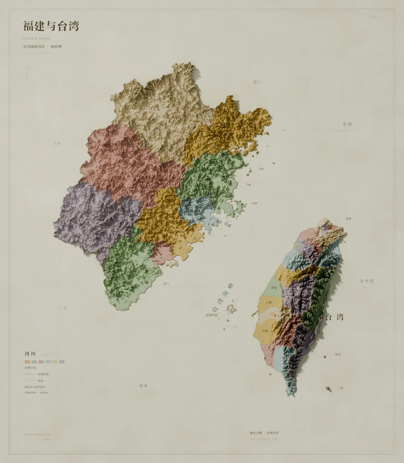
  1. 01Terrain dataDEM clipping, reprojection, and vertical exaggeration
  2. 02CompositionFraming, extent, and color studies drafted with AI
  3. 03Blender renderDisplacement, lighting, and shaded relief
  4. 04Cartographic finishLabels, borders, and color correction
Vintage shaded-relief atlas map of China
China / a relief atlasVintage shaded relief · provincial color study
Shaded-relief map of Fujian and Taiwan across the Taiwan Strait
Fujian & TaiwanCross-strait terrain study
Blue shaded-relief map of the Shengsi Archipelago
Shengsi ArchipelagoIsland relief · East China Sea
Blue shaded-relief map of the Leizhou Peninsula and Hainan Island
Leizhou & HainanTopographic study · Qiongzhou Strait

Motion Urban growth studies

Seven short demos from the city building-age series, kept together as one moving layer of the archive.

Built-space timelines / 10 citiesSelected image set from the City Data Visual repositorySources & attribution ↗

Elsewhere.

Eleven city archives. Click a city to open its wall.

Also